An archive of paper ephemera
The art on the outside
of folded maps.
64 high-resolution scans, mostly of mid-century commercial illustration: painted map covers, hand-drawn infographics from tourist pamphlets, the cartouches and inset panels that filled the margins of working maps. Pacific Northwest, 1950s and 60s mostly.
Kept by Spencer Davis in Seattle. More on the why
- 64
- In the archive
- 64
- Maps
Recently added
Browse all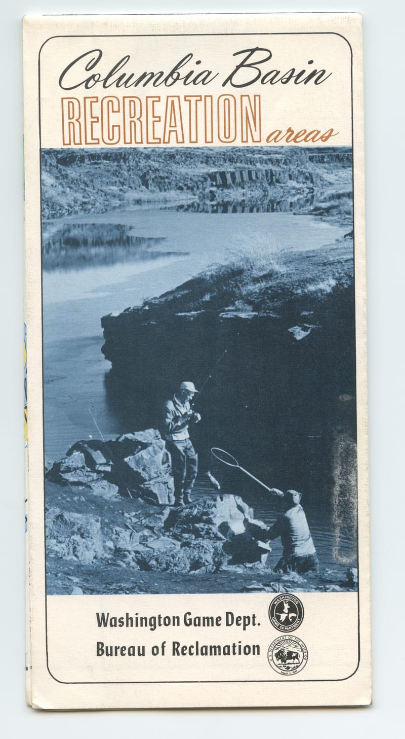
Fishing the Bureau's New Lakes, Columbia Basin
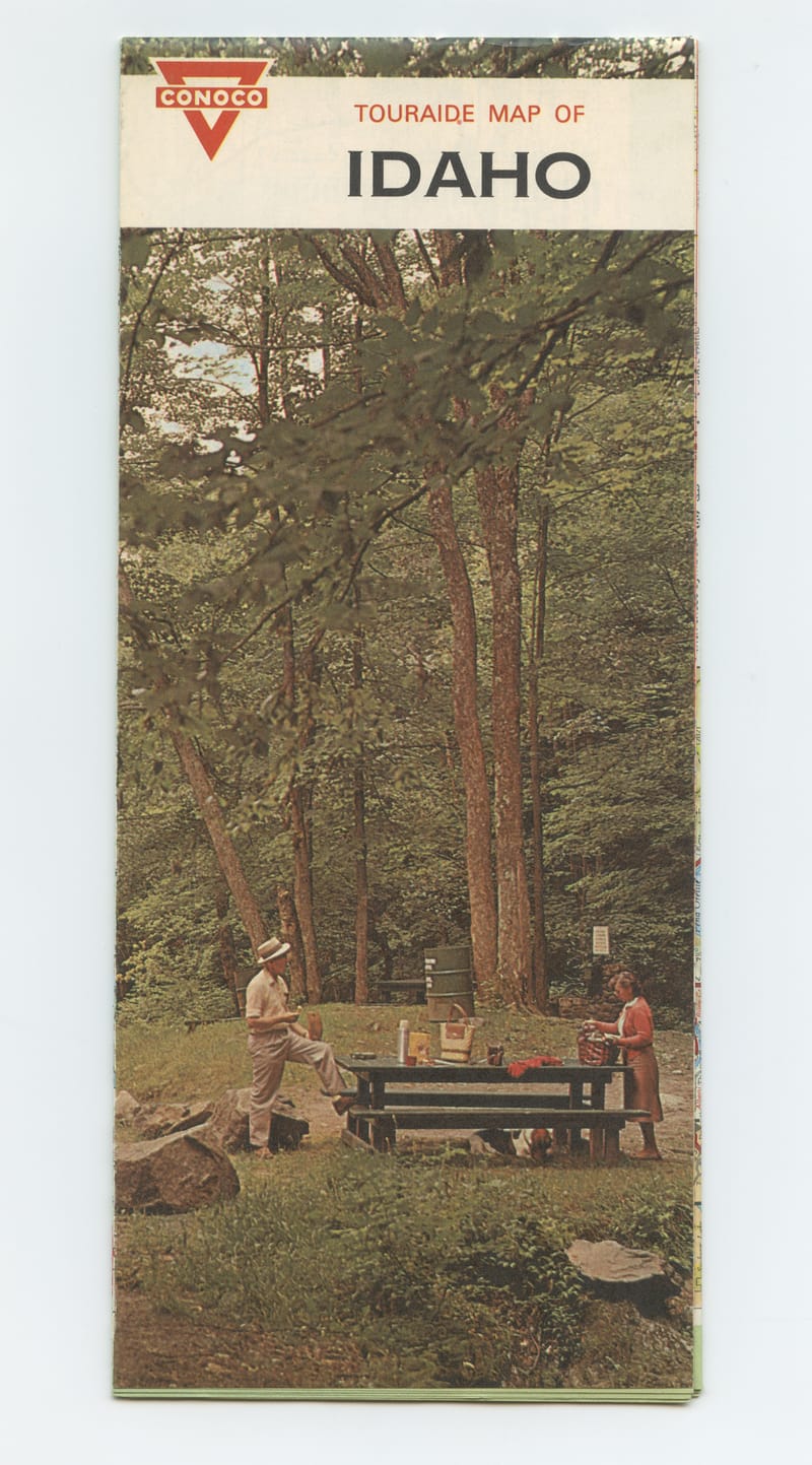
Conoco Touraide Stops for Lunch in Idaho
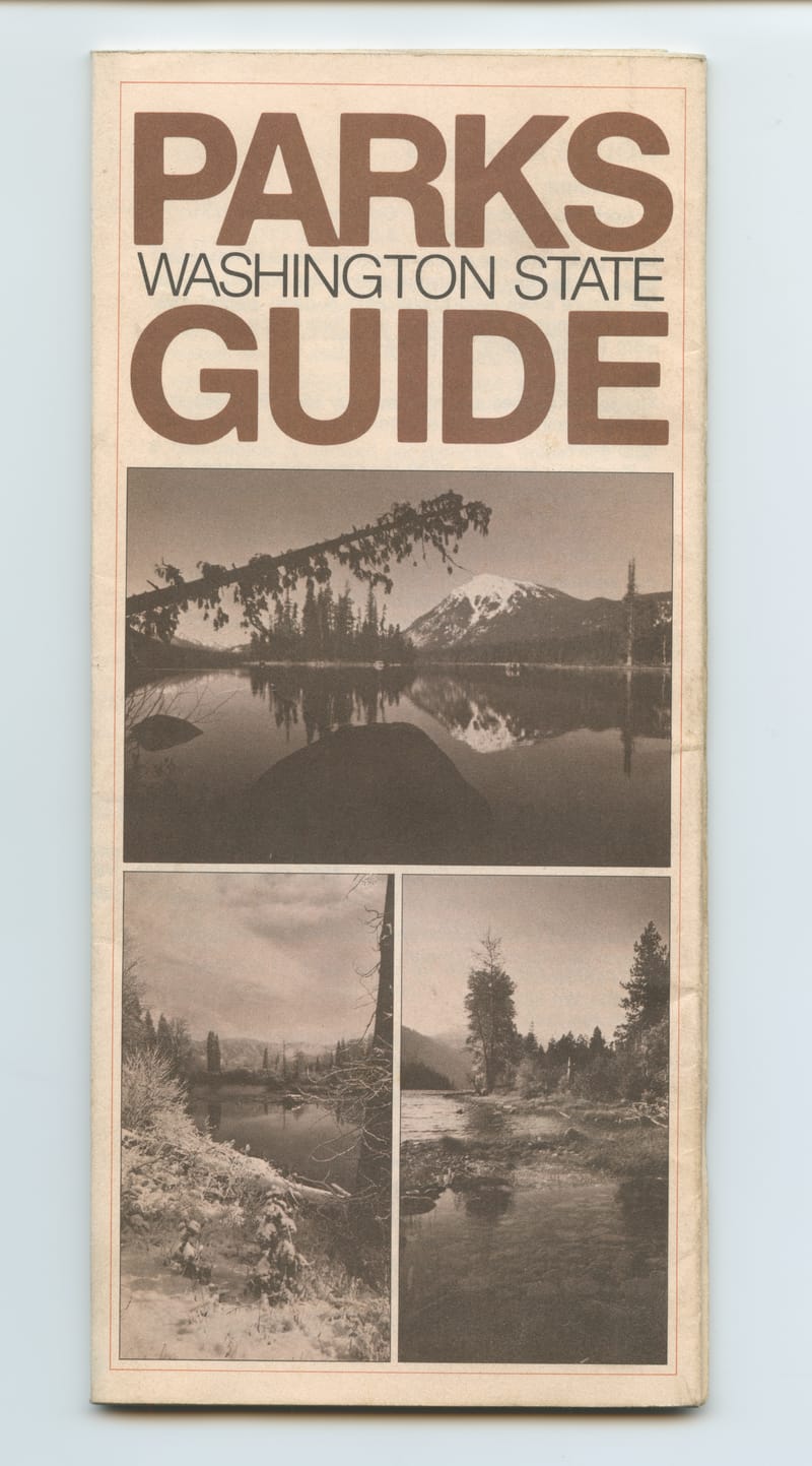
Snow Peak Without a Name, Washington Parks
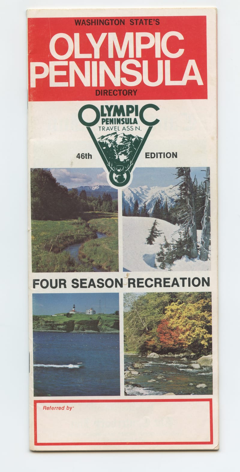
Forty-Six Editions on the Olympic Peninsula
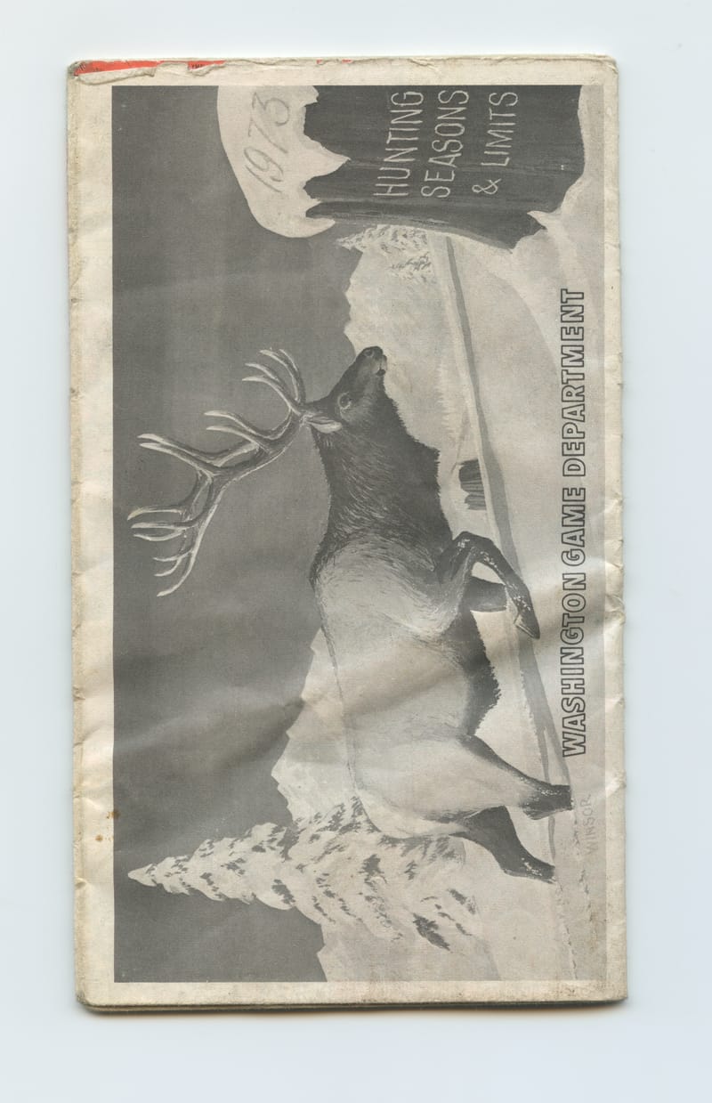
Bull Elk, Washington Hunting Seasons and Limits 1973
1973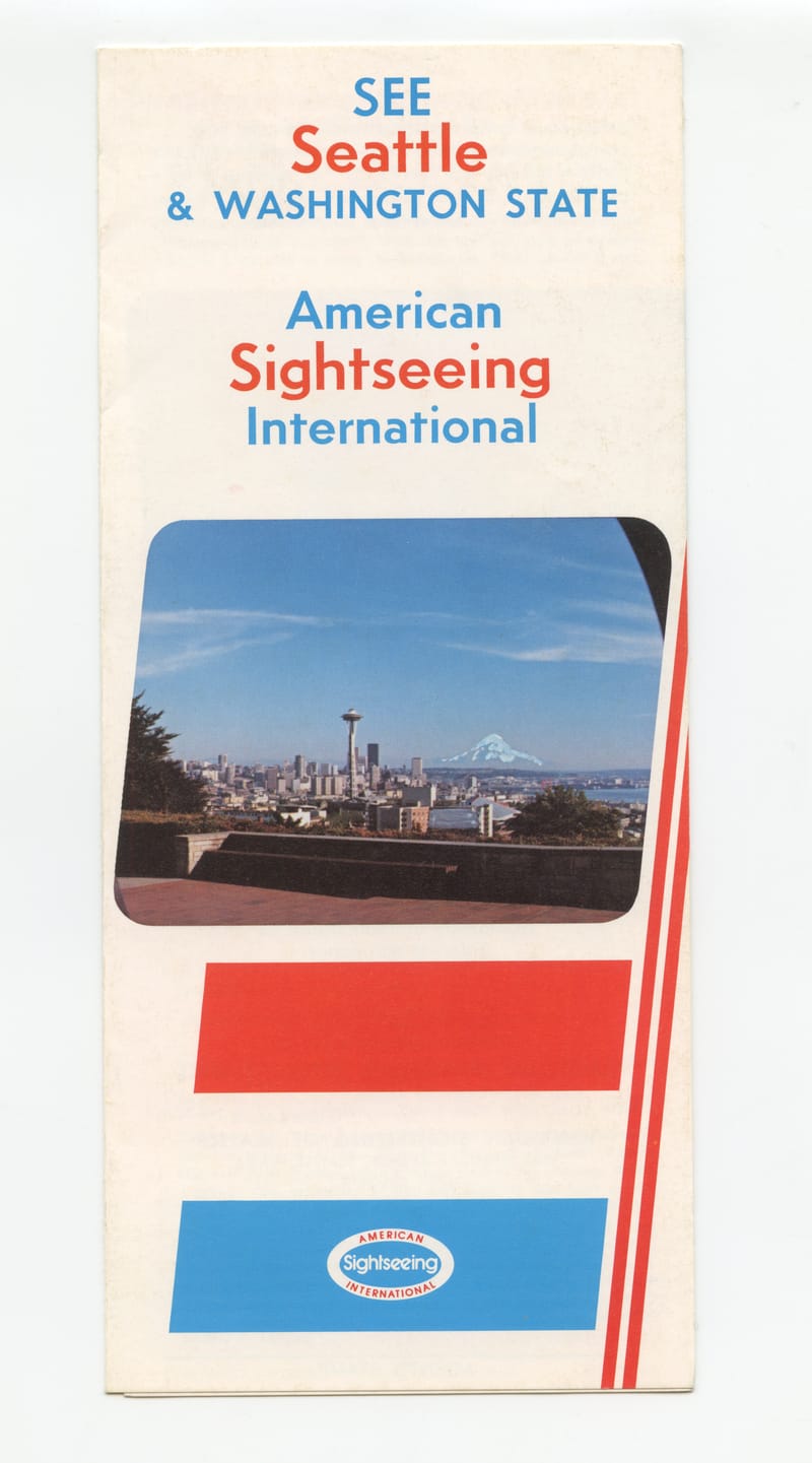
Four Routes Round Seattle, by Bus and Sound
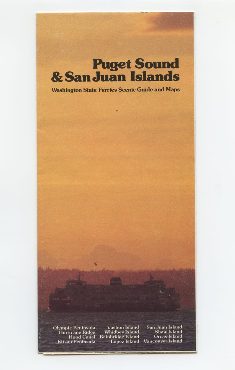
Golden Hour, Puget Sound to Vancouver Island
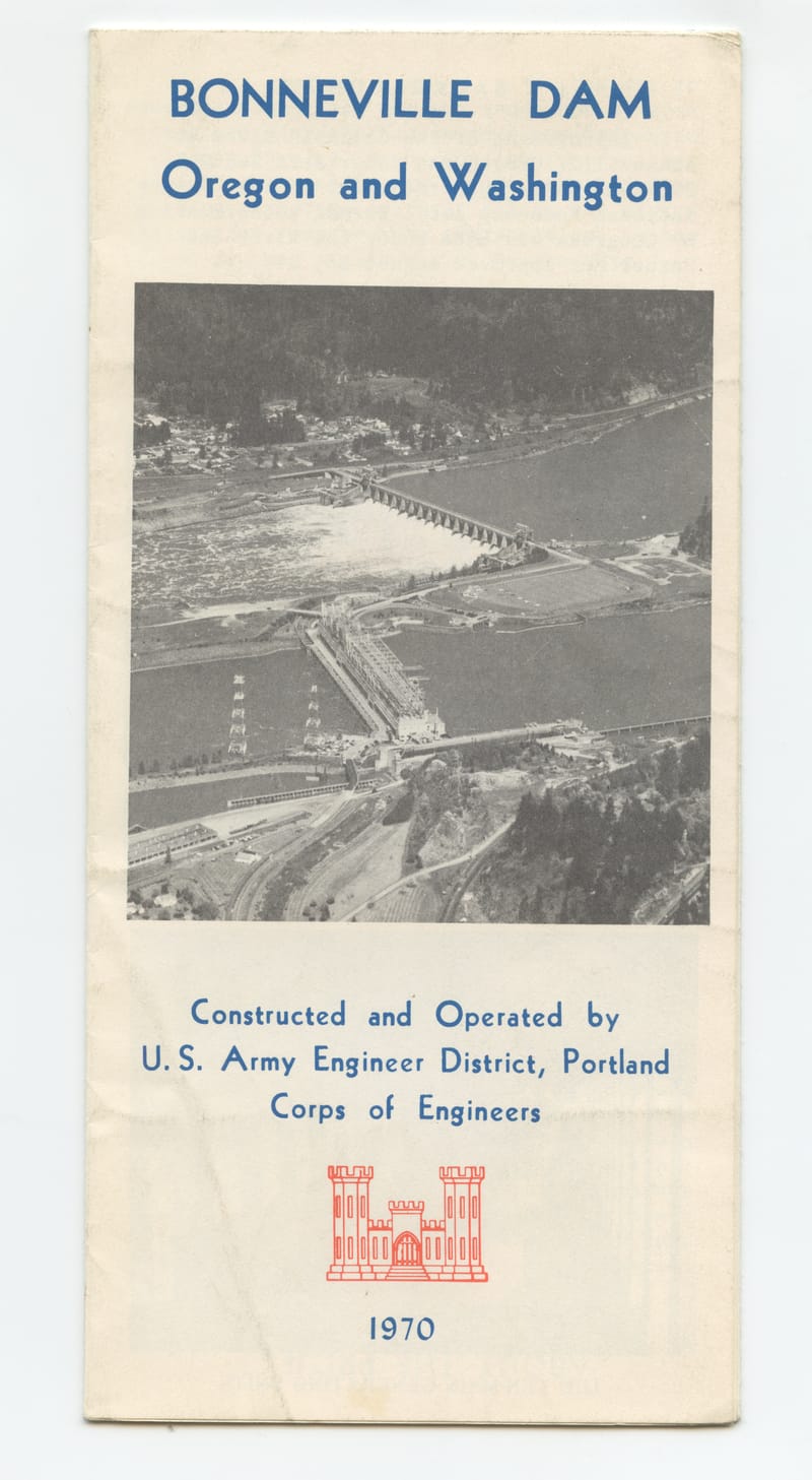
Ask at the Guard Station, Bonneville Dam
1970Portland, Oregon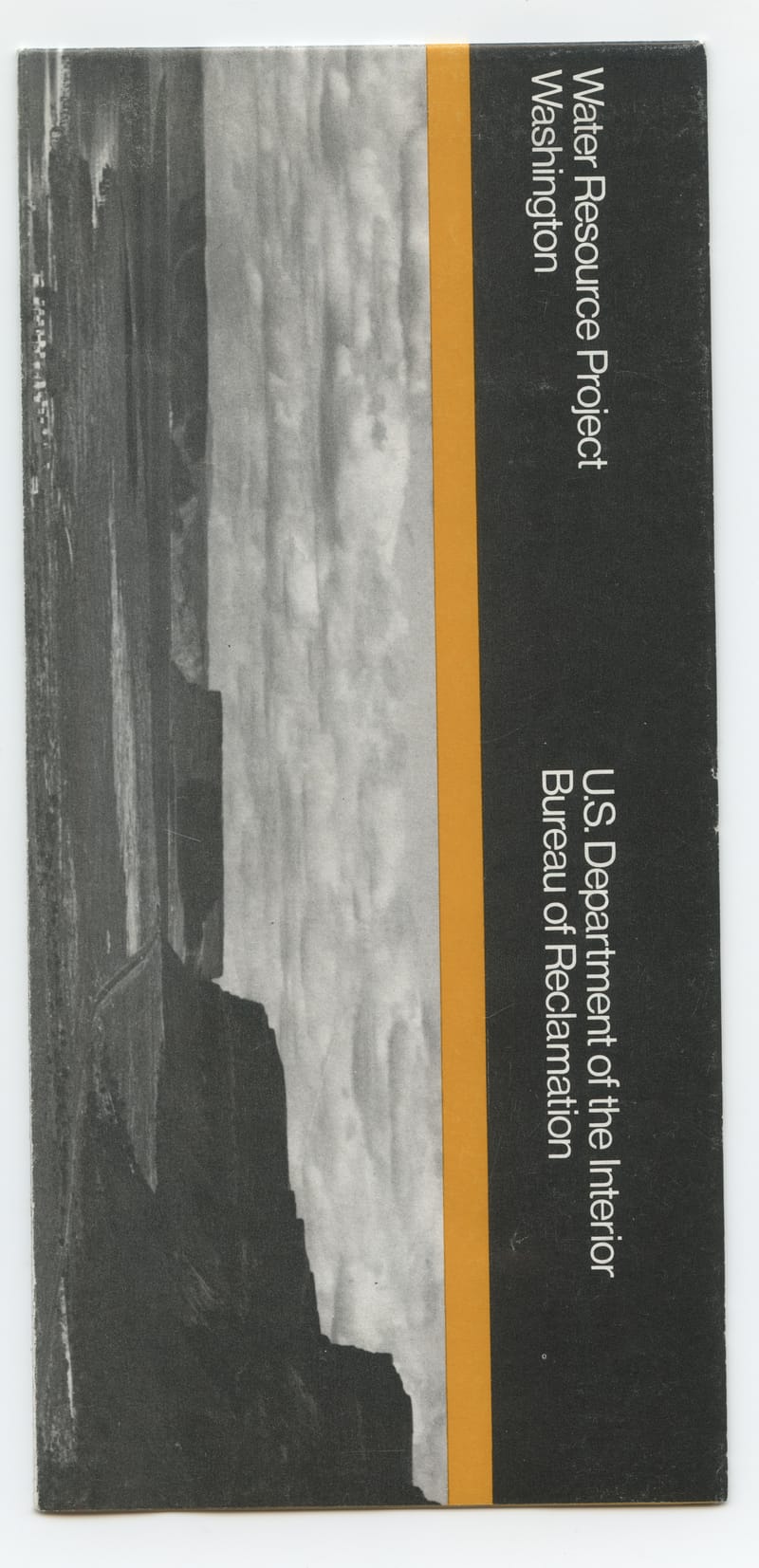
Black and Amber on the Columbia Basin Project
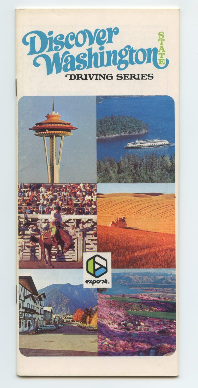
Discover Washington, Summer Before Expo '74
1973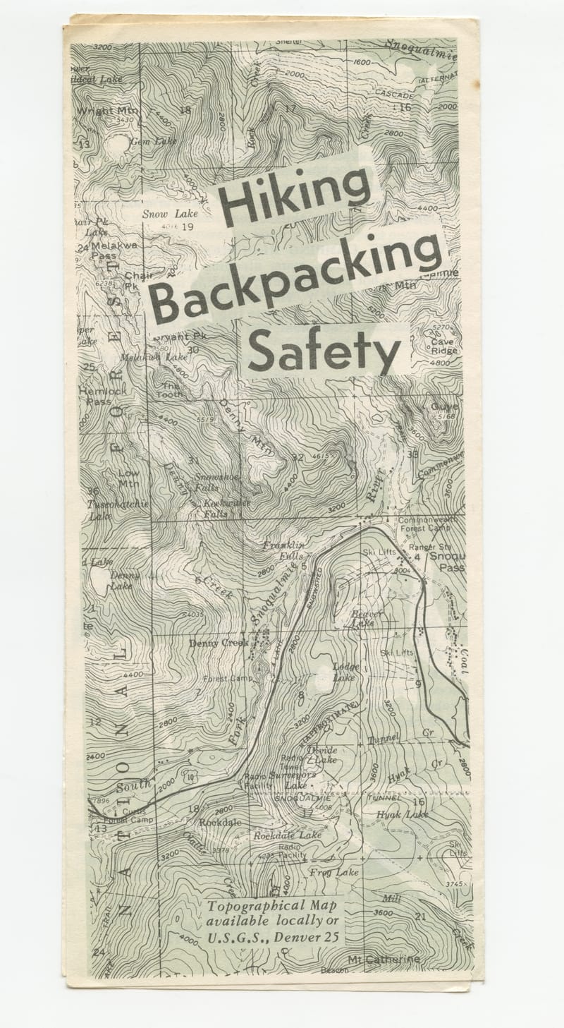
Hiking Safety for the Snoqualmie High Country
1958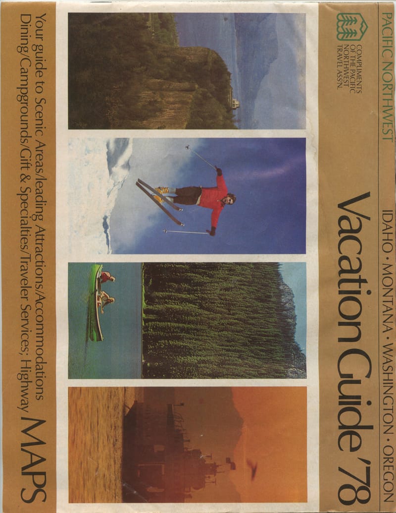
Idaho to Oregon, Compliments of the Pacific Travel Ass'n
1978
Why this exists
The art that was meant to be thrown out.
Mid-century commercial printing did real illustration work that nobody kept. A folded gas-station map had a painted cover by a working illustrator. A state-park brochure had hand-drawn infographics. A dam dedication pamphlet opened to an inset panel rendered in tight watercolor. The art was as careful as anything in a magazine, but the paper went straight into a glove compartment and then a trash can.
Most of what’s in this archive is that illustration. The painted fronts of folded road maps, the inside spreads of promotional pamphlets, the decorative cartouches and inset panels filling the margins of working maps. Mostly Pacific Northwest. Mostly the 1950s and 60s. Mostly the anonymous work of staff illustrators at print shops and tourism bureaus.
Every scan is high resolution so brushstrokes, halftone dots, and pencil tracks stay readable at any zoom. Every item is researched against authoritative sources (Wikipedia, archive.org, HistoryLink, university digital collections), with inline citations on the historical claims. Numbered pin annotations call out details on each scan that are easy to miss. Treat the descriptions as a starting point; verify before you cite.
Other things I build
Software, mostly. Then ephemera.
When I’m not scanning paper, I write code. Production systems, AI integrations, Chrome extensions, iOS apps. The archive is what happens when a developer who lives in Seattle starts caring too much about the painted cover of a 1962 fold-out city map.